GEOMORPHOLOGIST
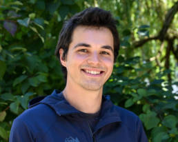
Luke Russell, MS
Luke works on conceptual through final design phases for a variety of projects for stream restoration and floodplain enhancement. Prior to joining W2r Luke helped compile over 60 years of cross-section survey data into a SQLite database for King County and build a custom user interface for the database, making it easy to add/edit data and even quickly make quick calculations such as average channel elevation and cross-sectional area. He is currently supporting W2r projects along the Mississippi River and in the Upper Grand Ronde Basin.